Print this page

Stop 2: Federals Advance up Hill

[Waypoint 39.037823 -94.591811]

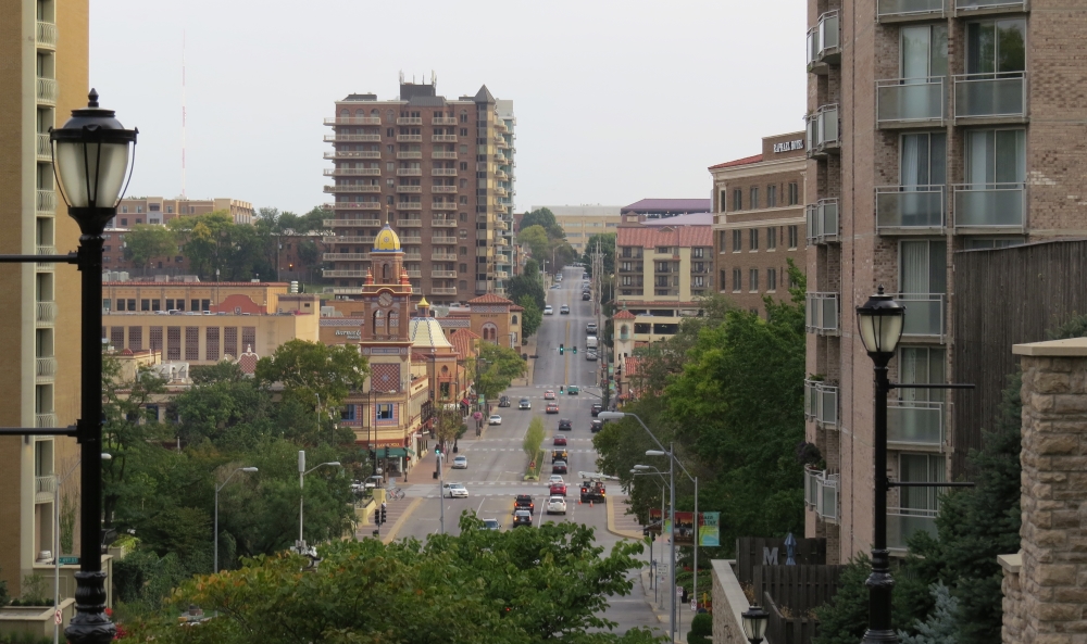
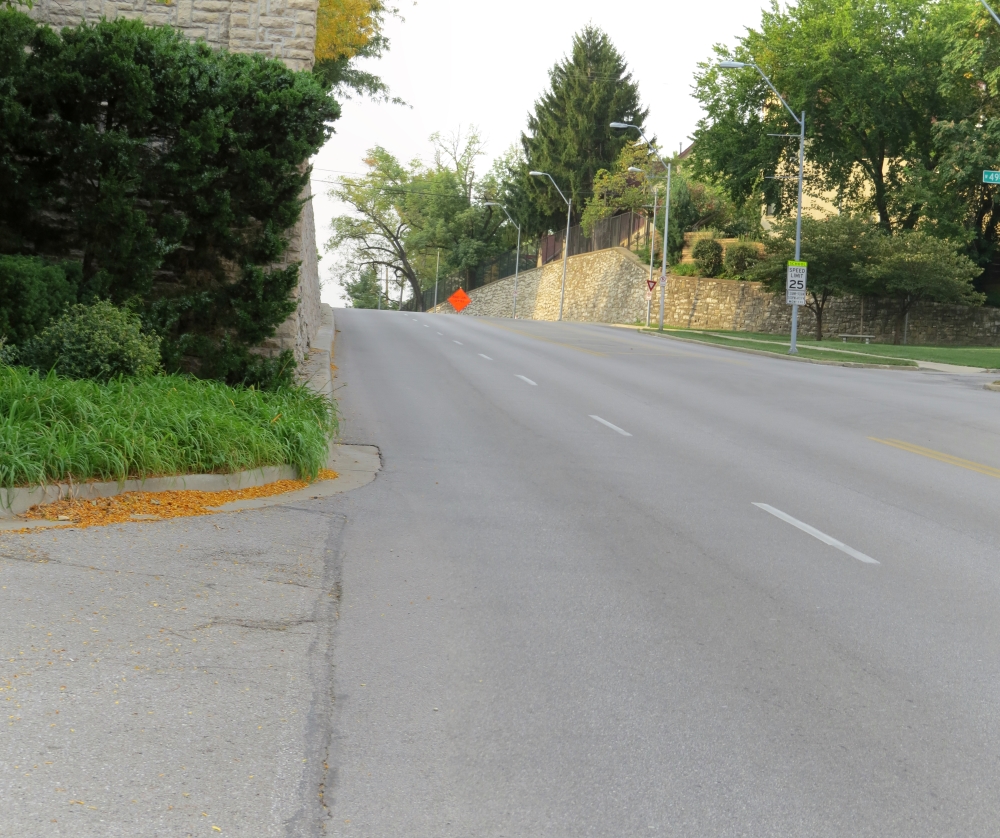
Even though the growth of Kansas City has consumed most of the battlefield in this area, this stop provides a view of the terrain faced by the Union forces during the fight.

View looking north down Wornall Road toward Westport
View looking north down Wornall Road toward Westport.
View looking south up Wornall Road toward Loose Park
View looking south up Wornall Road toward Loose Park.
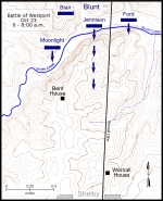
Map: click on thumbnail for high resolution version
Map showing the Battle of Westport October 23, 6-8 a.m. Click on thumbnail to load high resolution version of map.
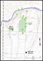
Battle of Westport Walking Tour Map
Map showing the Battle of Westport walking tour stops. Click on thumbnail to load high resolution version of map.


The Muse South African