Stop 14-Federal Advance to Bloody Hill
[Waypoint 39.016405, -94.522278]
Walk about 75 yards or so into the middle of the meadow to a point where you can look west down E 60th Street. Depending on the time of year, visibility may be limited because of vegetative growth in the meadow. Your exact location is not that critical. You just need to stand somewhere in the middle of the meadow.
You are still standing on or near the Historic Byram’s Ford Road. It went due west for a few hundred yards before veering to the left (southwest) where it passed through a break in the rock ledge (as does present-day Manchester Trafficway). About 400 yards west of your position is the rock ledge (see Tour Stop 15 Federals Assault Bloody Hill). It’s just on the other side of the present-day railroad tracks and is lined with trees and brush (although the trees and brush were probably not there in 1864).
 |
 |
 |
 |
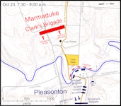
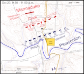
Click on thumbnail to load high resolution version of map.
